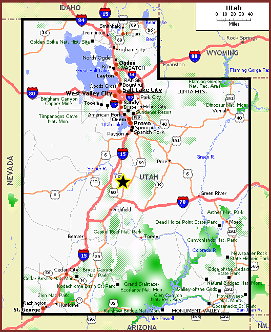
WELCOME TO our siteArea Map
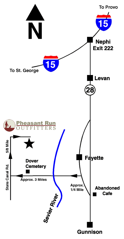
Directions From Las Vegas
From Las Vegas blvd take I-15 North toward Salt Lake City, (go approx 243) miles. Merge onto I-70 via EXIT 132 toward Richfield/Denver (go 57 miles). Take the I-70- BL/US-89 N exit, EXIT 56, Toward SALINA ( go .4 miles). Turn Left onto I-70 SPUR/US-89 and continue to follow US-89 north (go 16 miles). Do not turn right towards Manti. Stay straight in Gunnison to MAIN ST/UT-28. Continue to follow UT-28 approximately 5 miles to abandon Warm Creek café. Turn left at Café onto E 200 South street. Continue approximately 200 yards and turn left on to the dirt road heading west 3 miles across the valley. You will reach a T in the road - go right or to the North 1/2 mile to a log cabin with a green roof. Turn right at the cabin onto the Pheasant Run Outfitters lane. Follow the lane to the Lodge.
Directions from Salt Lake City
Merge to I-15 South towards LAS VEGAS/CHEYENNE (go approx 84 miles). Take Exit 222 in Nephi toward I-70/SALINA/RICHFIELD. Turn left onto UT-28 south to Levan (go 9 miles). In Levan turn left, stay on UT-28 south approximately 26 miles to Fayette. One mile past the town of Fayette there is an abandon Café (Warm Creek Café) on the left hand side of the highway - Turn right at Café onto E 200 South Street in Fayette. Continue back to the north approximately 200 yards and turn left on to the dirt road heading west 3 miles across the valley. You will reach a T in the road - go right or to the North 1/2 mile to a log cabin with a green roof. Turn right at the cabin onto the Pheasant Run Outfitters lane. Follow the lane to the Lodge.